
Geology
25 March 2022
Groundbreaking earthquake discovery: Risk models overlook an important element
Geology
Earthquakes themselves affect the movement of Earth's tectonic plates, which in turn could impact on future earthquakes, according to new research from the University of Copenhagen. This new knowledge should be incorporated in computer models used to gauge earthquake risk, according to the researchers behind the study.

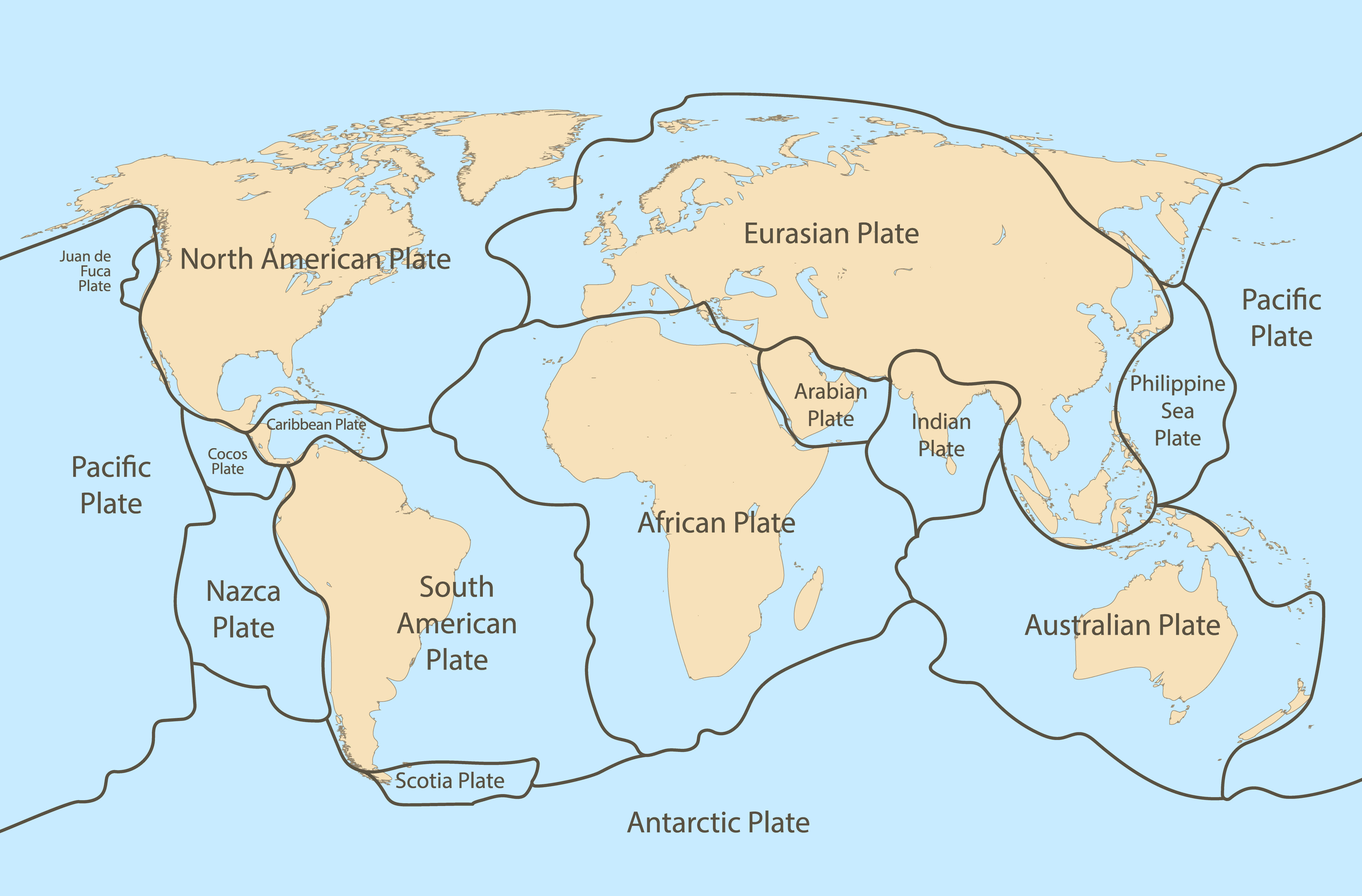
Like a gigantic puzzle, Earth’s tectonic plates divide the surface of our planet into larger and smaller pieces. These pieces are in constant motion due to the fluid-like part of Earth’s mantle, upon which they slowly sail. These movements regularly trigger earthquakes, some of which can devastate cities and cost thousands of lives. In 1999, the strongest European earthquake in recent years struck the town of İzmit, Turkey – taking the lives of 17,000 of its residents.
Among researchers and earthquake experts, it is well accepted that earthquakes are caused by a one-way mechanism: as plates move against one another, energy is slowly accrued along plate margins, and then suddenly released via earthquakes. This happens time and again over decades- or century-long intervals, in a constant stick-slip motion.
But in a new study, researchers from the Geology Section at the University of Copenhagen’s Department of Geosciences and Natural Resource Management demonstrate that the behaviour of tectonic plates can change following an earthquake.
Using extensive GPS data and analysis of the 1999 İzmit earthquake, the researchers have been able to conclude that the Anatolian continental plate that Turkey sits upon has changed direction since the earthquake. Data also show that this influenced the frequency of quakes around Turkey after 1999.
"It appears that the link between plate motion - earthquake occurrence is not a one-way street. Earthquakes themselves feed back, as they can cause plates to move differently afterwards," explains the study’s lead author, postdoc Juan Martin De Blas, who adds:
"As the plate movements change, it somewhat affects the pattern of the later earthquakes. If a tectonic plate shifts direction or moves at a different rate than before, this potentially impacts onto the seismicity of its margins with neighboring plates."
Quake models can be improved
According to the researchers, the new findings provide a clear basis for reevaluating the risk models that interpret data gathered from the monitoring of tectonic plate movements. This data is used to assess the risk of future earthquakes in terms of probability, somehow like the nice/bad weather forecast.
"An important aspect of these models is that they operate under the assumption that plate movements remain constant. With this study, we can see that this isn’t the case. Therefore, the models can now be further evolved so they take the feedback mechanism that occurs following an earthquake into account, where plates shift direction and speed," says Associate Professor Giampiero Iaffaldano, the study’s co-author.
The assumption that plate movements are constant has largely been a "necessary" assumption according to the researchers, because monitoring plate motions over period of few years was once impossible. But with the advent of geodesy in Geosciences, and the extensive and ever-growing use of GPS devices over the last 20 years, we can track plate motion changes over year-long periods.
Could make us better at assessing risk
How tectonic plates are monitored varies greatly from place to place. Often GPS transmitters are positioned preferentially near the edges of a tectonic plate. This allows public agencies and researchers to track the movement of plate boundaries. But according to the researchers, we can also benefit from even more GPS devices continuously monitoring plate interiors, away from their margins.
"Plate boundaries undergo constant deformation and poorly represent the movement of plates as a whole. Therefore, GPS data from monitors positioned farther away from the plate boundaries should be used to a much greater degree. This can better inform us weather plates are changing motion and how, and provide information useful for assessing the risk of future events somewhere other than the known hot-spots," says Giampiero Iaffaldano.
The researchers point out that their study is limited to the Anatolian continental plate, as the İzmit earthquake is one of the few event for which a combination of sufficient seismic and GPS data is available. However, they expect that the picture is the same for other tectonic plates around the planet.
Contact
Juan Martin de Blas
Postdoc
Department of Geosciences and Natural Resource Management
University of Copenhagen
Mobile: +4535330662
Mail: jmb@ign.ku.dk
Giampiero Iaffaldano
Associate Professor
Department of Geosciences and Natural Resource Management
University of Copenhagen
Mobile: +4535334640
Mail: giia@ign.ku.dk
Michael Skov Jensen
Journalist
The Faculty of Science
University of Copenhagen
Mobile: + 45 93 56 58 97